
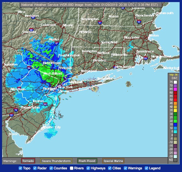
All of the National Weather Service’s warnings are for areas north of southern Westchester as the storm is forecast to move over New Jersey counties, Orange, Rockland, Putnam, northern Westchester and northern Fairfield. Here is the NWS winter weather message:
URGENT – WINTER WEATHER MESSAGE
National Weather Service New York NY
348 PM EST Tue Jan 29 2019
Northern Fairfield-Western Passaic-Western Bergen-Orange-Putnam-
Rockland-Northern Westchester–
348 PM EST Tue Jan 29 2019
…WINTER WEATHER ADVISORY REMAINS IN EFFECT UNTIL 6 AM EST
WEDNESDAY…
* WHAT…Snow expected. Total snow accumulations of 2 to 5 inches
expected, with locally up to 6 inches in northern Orange County.
Snowfall rates up to one inch per hour are possible at times
into this evening.
* WHERE…Interior portions of the Lower Hudson Valley in New
York, Northern Fairfield county in Connecticut and Western
Bergen and Western Passaic counties in Northeast New Jersey.
* WHEN…Snow continues into this evening, possibly mixing with or
changing to rain for a few hours initially across southern
portions of the advisory area. The precipitation returns to all
snow later this evening, before ending overnight into early
Wednesday morning.
* ADDITIONAL DETAILS…Plan on slippery road conditions. The
hazardous conditions could impact both the evening commute and
the morning commute with any refreezing of any slush or standing
water.
PRECAUTIONARY/PREPAREDNESS ACTIONS…
A Winter Weather Advisory for snow means periods of snow will
cause primarily travel difficulties. Expect snow covered roads
and limited visibilities, and use caution while driving.