


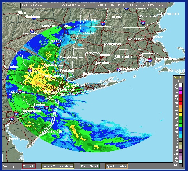
Coastal storm brings moderate to heavy rain Wednesday afternoon with increasing winds later
From the National Weather Service:
“Moderate to heavy rain is moving in from the southwest during late this afternoon. Once the rain begins, it will pick up quickly. The winds will become increasing gusty this evening, especially closer to the coast. The strong and gusty winds will continue into the day tomorrow.”
There is a coastal flood warning for southern Westchester. Here is the NWS’s statement:
...COASTAL FLOOD WARNING IN EFFECT FROM MIDNIGHT TONIGHT TO 4 AM
EDT THURSDAY...

* LOCATIONS...Vulnerable coastal locales along Southern Fairfield
  and Southern Westchester.

* TIMING...During the times of high tide from midnight tonight to
  4 AM EDT Thursday.

* COASTAL FLOOD IMPACTS...There is an elevated threat of property
  damage. Widespread flooding of vulnerable areas near the
  waterfront and shoreline. Expect 2 to 3 feet of inundation above
  ground level in the most low lying and vulnerable areas. This
  will result in numerous road closures and cause widespread
  flooding of low lying property including parking lots, parks,
  lawns and homes/businesses with basements near the waterfront.
  Vehicles parked in vulnerable areas near the waterfront will
  likely become flooded. Flooding will also extend inland from the
  waterfront along tidal rivers and bays.

* SHORELINE IMPACTS...Breaking waves of 3 to 5 ft with elevated
  water levels will result in significant beach erosion and
  flooding during the times of high tide tonight, with some
  flooding of roadways and vulnerable structures behind protective
  dunes.

* UNCERTAINTY...If strong southeast winds shift to the northwest
  before the time of high tide, the wave and flood impacts could
  be less than forecast.