


Cold front to push thunderstorms with heavy downpours, damaging winds across area Wednesday afternoon
Courtesy National Weather Service
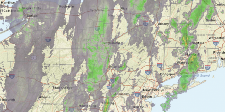
Regional radar image as of 12:15 p.m.
The following is the forecast from the National Weather Forecast:
“An approaching cold front on Wednesday will allow clouds to increase during the morning hours as temperatures start out in the upper 40s and low 50s for most. A line of showers and thunderstorms will develop ahead of the front, moving through the region during the afternoon into early evening. Locally heavy downpours, as well as damaging winds, will be possible with this line, especially across metro NYC and the Lower Hudson Valley. As the rain exits in the evening, temperatures drop, conditions dry, and winds increase behind the front. Gusts up to 35 mph can be expected at times from Wednesday night into Thursday.”